

LOCOSYS Technology Inc. is a Taiwanese manufacturer of GNSS and RTK positioning modules, smart antennas and dead-reckoning solutions for industrial, automotive and avionics applications. Manufacturing is IATF 16949 certified, and the non-China origin supply chain meets NDAA and RED compliance requirements.
Standard GNSS gets you within a few metres. That isn’t enough for a sprayer following crop rows, a survey rover, or an autonomous platform threading an urban canyon. Locosys RTK modules close that gap to centimetres, using L1+L5 dual-band and L1+L2+L5 triple-band reception across GPS, GLONASS, Galileo and BeiDou for fast fixes and strong resistance to interference.
Every module works as base or rover, in compact, low-power packages with the interfaces you need for straightforward integration.
- Dual-band (L1+L5) and triple-band (L1+L2+L5) modules
- RTK+DR — sensor fusion for tunnels, urban canyons and signal dropout
- AHRS/IMU/RTK, RTK boards, base station systems and USB dongles
- Matched RTK patch, helix and survey antennas from the same source
Talk to our engineers about the right module for your application.
Below are some of the recent product introductions:
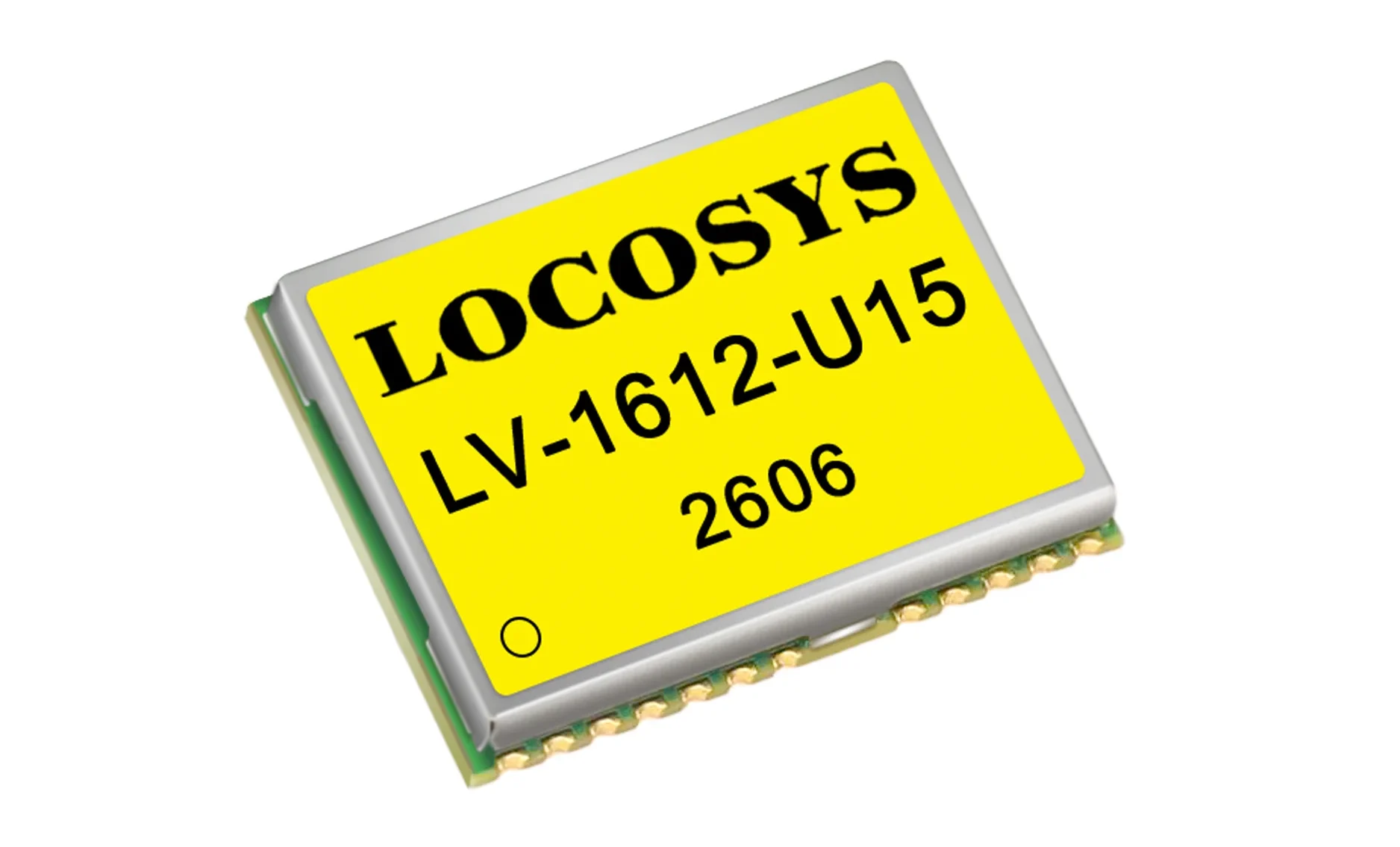
Triple-Band RTK Modules (L1+L2+L5)
Adding L2 to the L1+L5 pair gives you a third frequency to model ionospheric delay against — faster convergence, tighter accuracy, and better behaviour in urban canyons and under canopy. Full multi-constellation tracking across GPS, GLONASS, Galileo, BeiDou, QZSS and SBAS, with AI-driven anti-jamming and anti-spoofing that raises real-time warnings. Non-China supply chain, NDAA and RED compliant, IATF 16949 manufacturing.
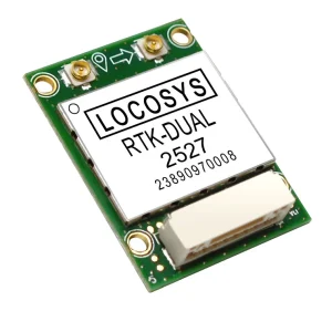
RTK DUAL Board (L1+L5)
Heading from two antennas, not a compass. Most RTK boards can only infer direction once the platform is moving — this one gives you true heading standing still, and it’s immune to magnetic interference from motors, frames and payloads. Add centimetre-level RTK positioning, concurrent GPS, GLONASS, Galileo, BeiDou and QZSS tracking on L1 and L5, and a 12nm process that puts it among the lightest and lowest-power boards available. Pair it with LOCOSYS low-power helical antennas to stretch battery life further.
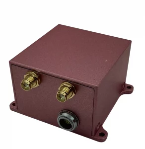
HAWK-Titan — LOCOSYS AHRS/IMU/RTK navigation module
The HAWK-Titan is a highly integrated navigation module for UAVs, autonomous vehicles and surveying, combining dual-frequency GNSS positioning, a MEMS IMU, an attitude and heading reference system, RTK correction, and a dual-antenna heading solution in one unit. The pitch is consolidation: rather than sourcing a GNSS receiver, an IMU and a separate heading solution and fusing them yourself, you get one module that outputs position, velocity, attitude and heading together.
Core specifications
It receives GPS/QZSS, GLONASS, Galileo and BeiDou on L1 and L5, and is RTK-enabled with RTCM 3.3 compatibility for centimetre-level positioning. The dual-antenna heading system reaches 0.1° accuracy depending on baseline length, works in static or low-speed conditions, and is unaffected by magnetic distortion — a clear advantage over magnetometer-only approaches. Everything outputs in real time at up to 100 Hz. On the inertial side, high-grade MEMS gyroscopes and accelerometers deliver low bias instability and 0.1% full-scale non-linearity, while the AHRS fuses IMU, magnetometer, barometer and GNSS data into 3D orientation output that stays stable under magnetic interference and high dynamics.